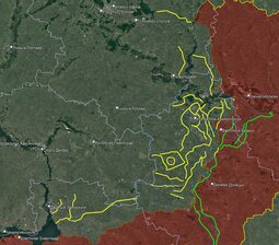
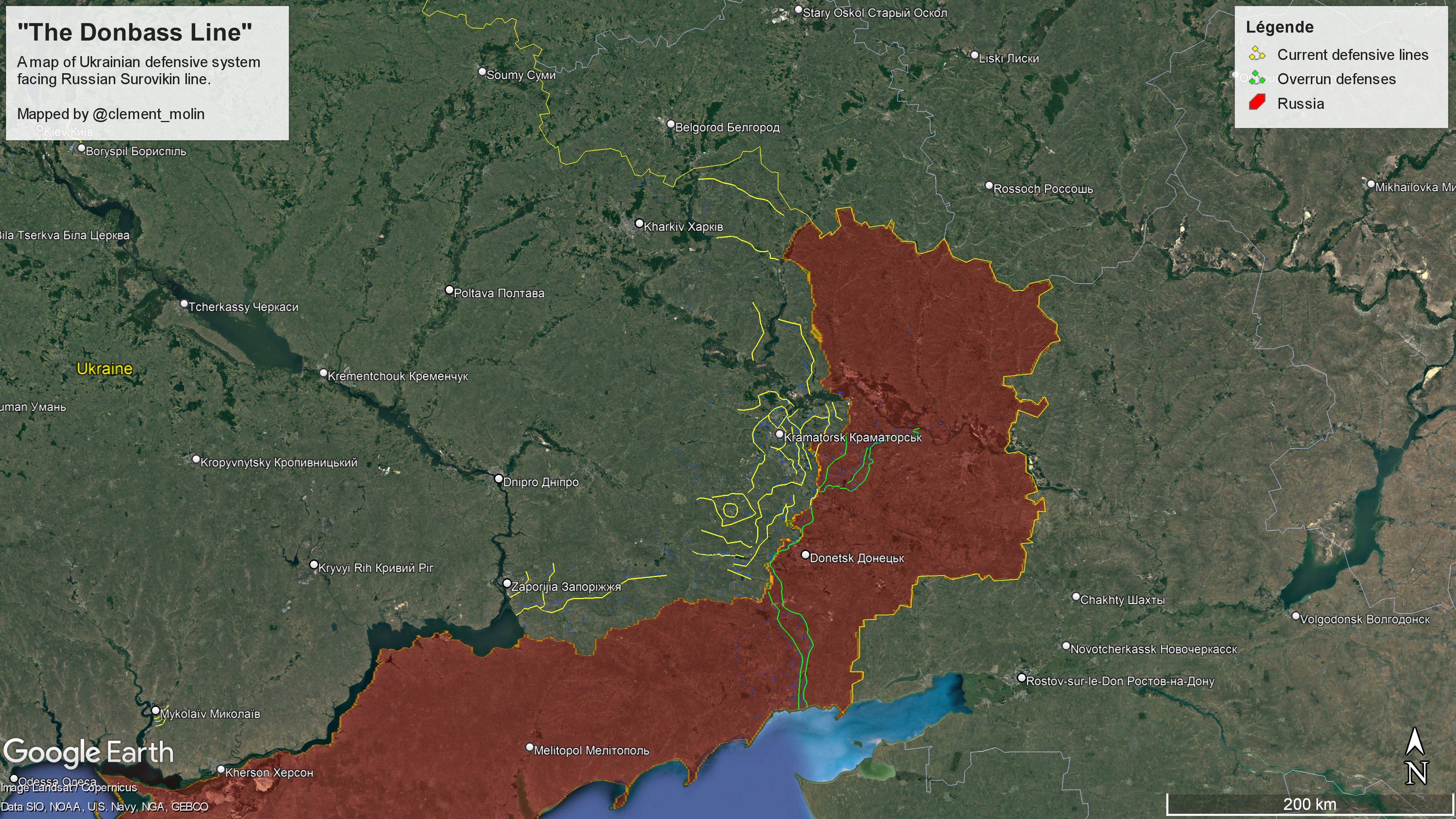
One thing have to note. Mostly he can map only those trenches which can be seen from satellite imagery. So those in forests and towns and underground tunnels he can miss. He ofc notes, his map isn't exhaustive. I think themap is extremely blind in cases such as Bakhmut and Avdiivka. I heard several times now in relation to Avdiivka, that there were no defenses. I assume this why it could hold out for so long, right...? From the images and his explanation these fortifications very much based on the same idea that was the foundation of the Árpád-line ( C3%81rp%C3%A1d_Line">https://en.wikipedia.org/wikiC3%81rp%C3%A1d_Line ). The defensive line consists of independent strongpoints, where circular defense is possible (towards every direction), and can offer fire support for each other.
 02/27/2024 (Tue) 18:42
No.51698
del
02/27/2024 (Tue) 18:42
No.51698
del